
Licensed by the Kosovo Cadastral Agency, no. 356
Accurate spatial data, from the field to the decision.
Accurate spatial data for institutions, municipalities and companies in Kosovo and the region since 2009.
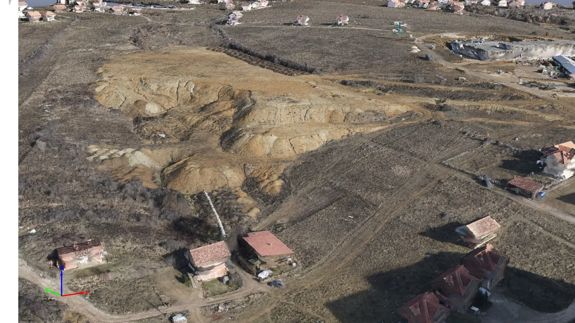
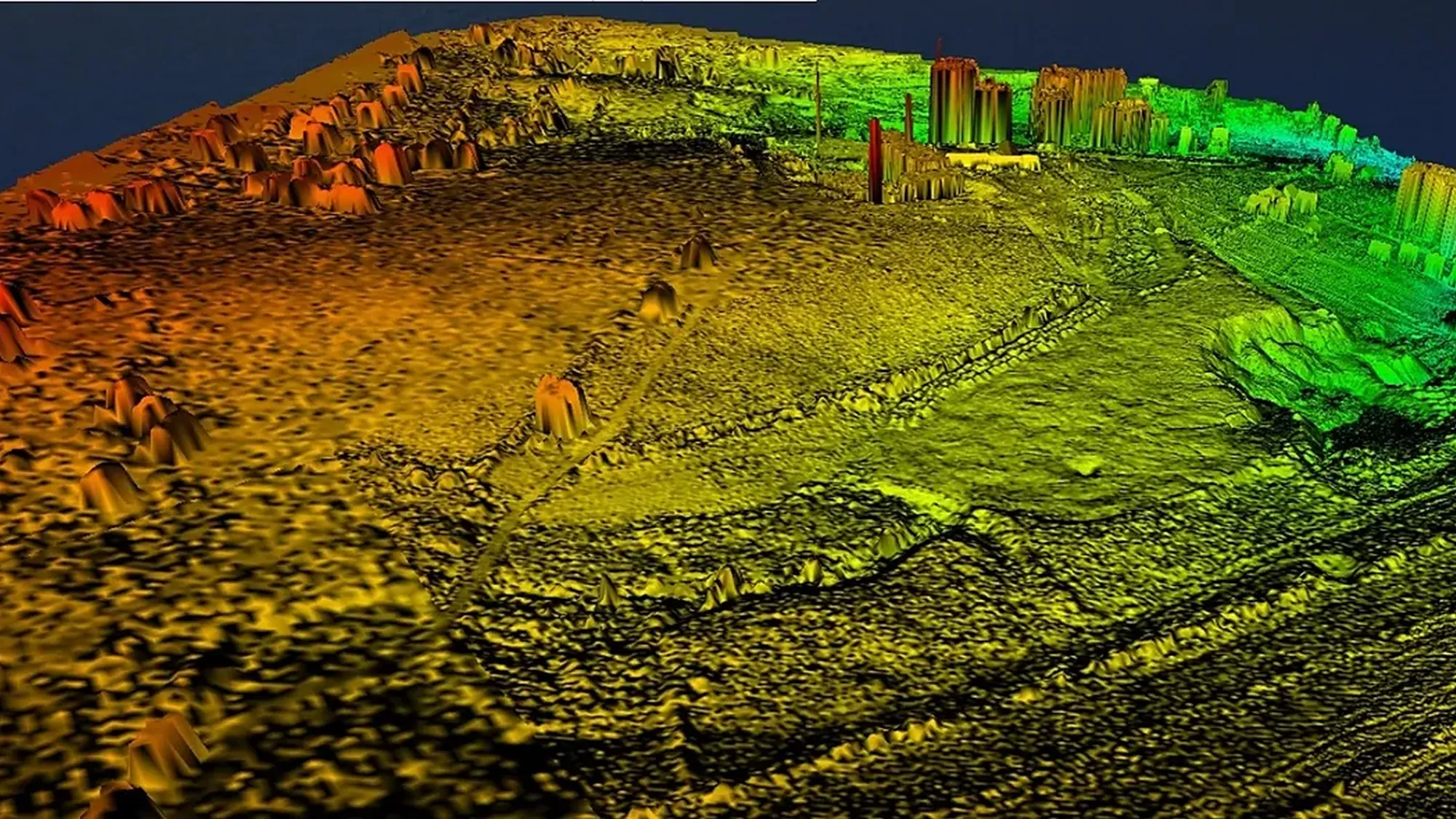
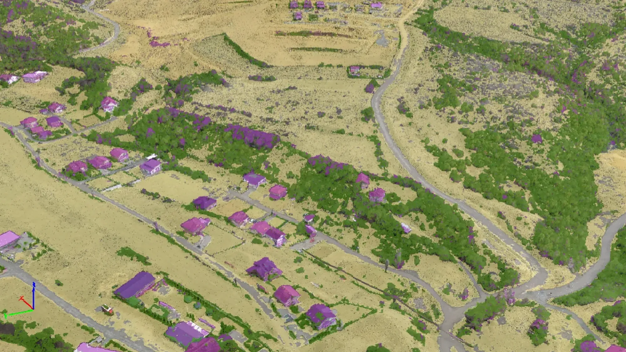
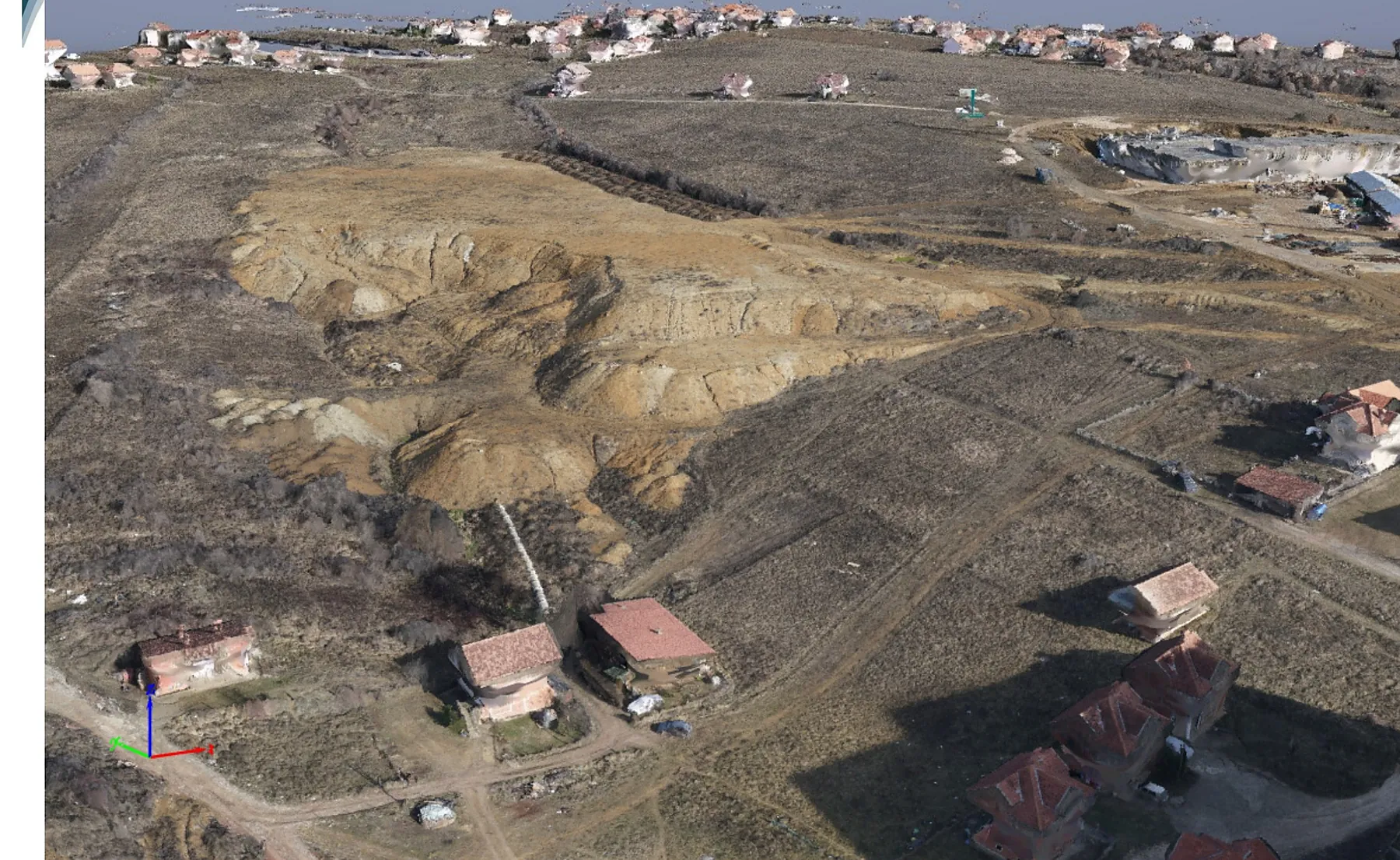
Drone flight over Kodrina54.65 ha in one flight
Trusted by institutions, international organisations and companies

























- founded
- 2009
- completed projects
- 200+
- clients and partners
- 50+
- drone/UAV projects completed
- 50+
What we do
From the field survey to the system you use every day: one team, one point of responsibility.
-
 Surveying and cadastre
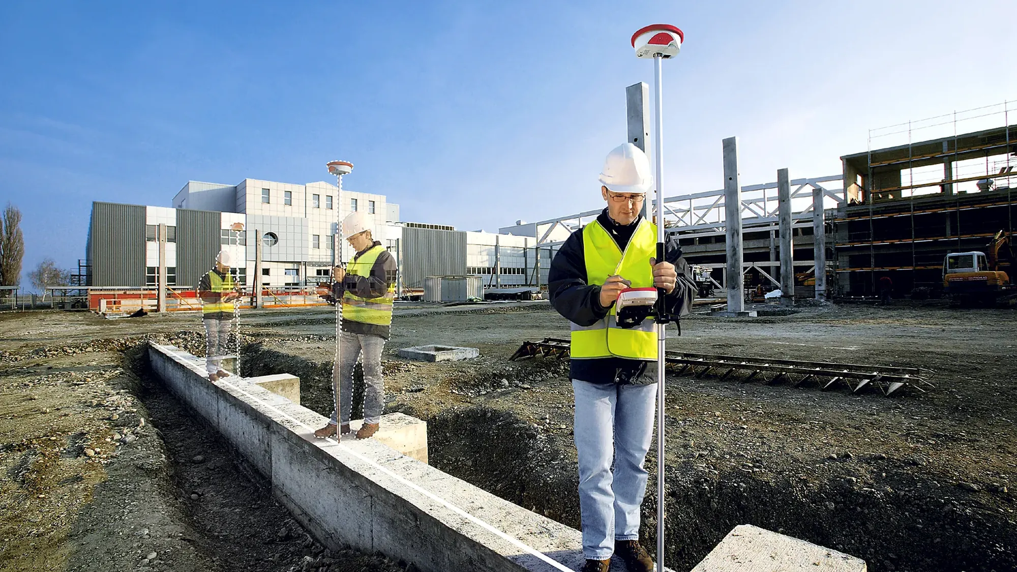
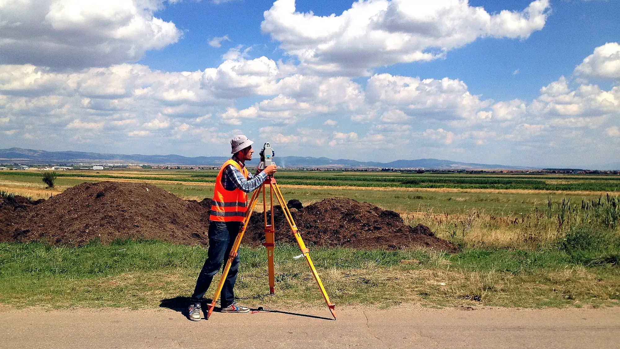
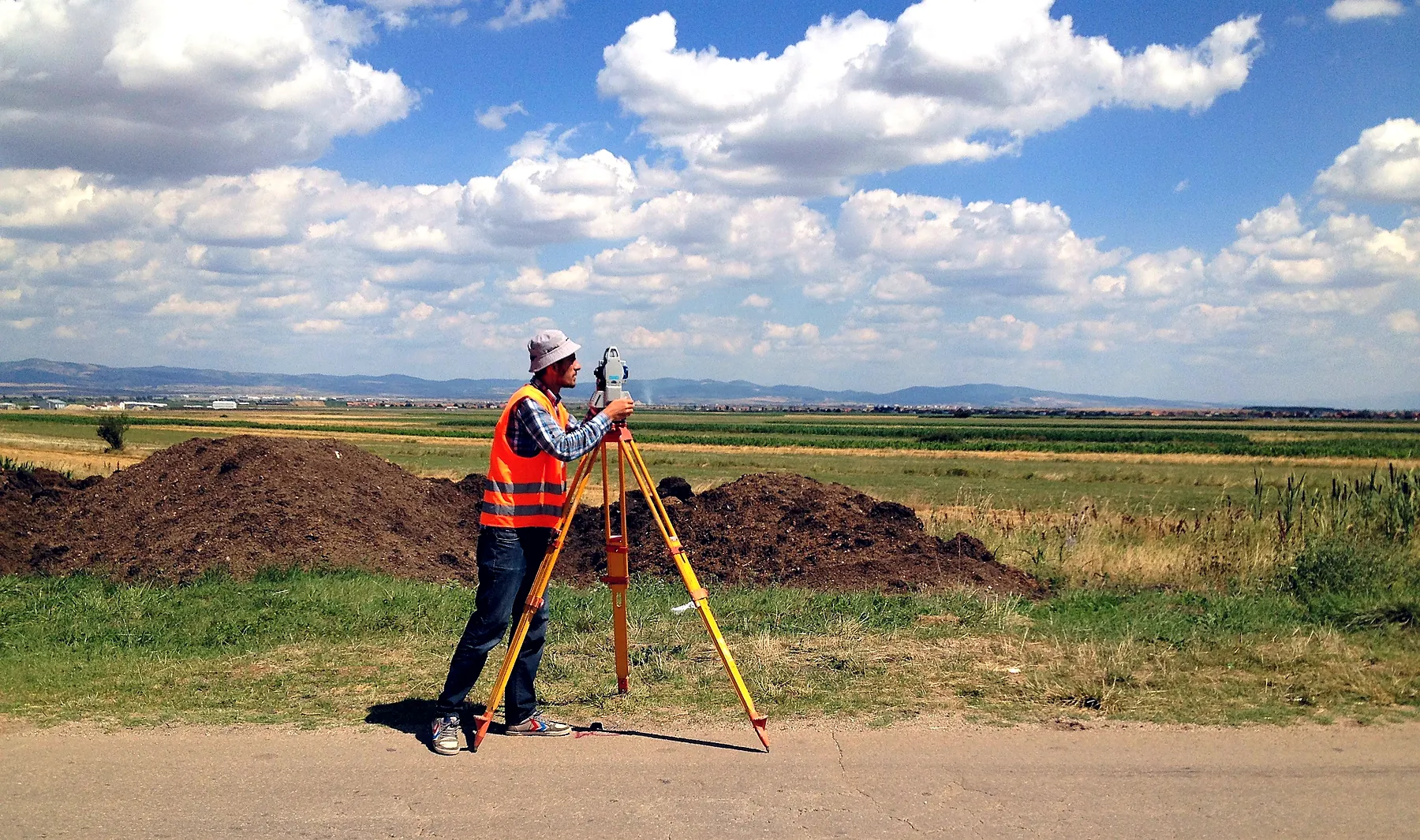
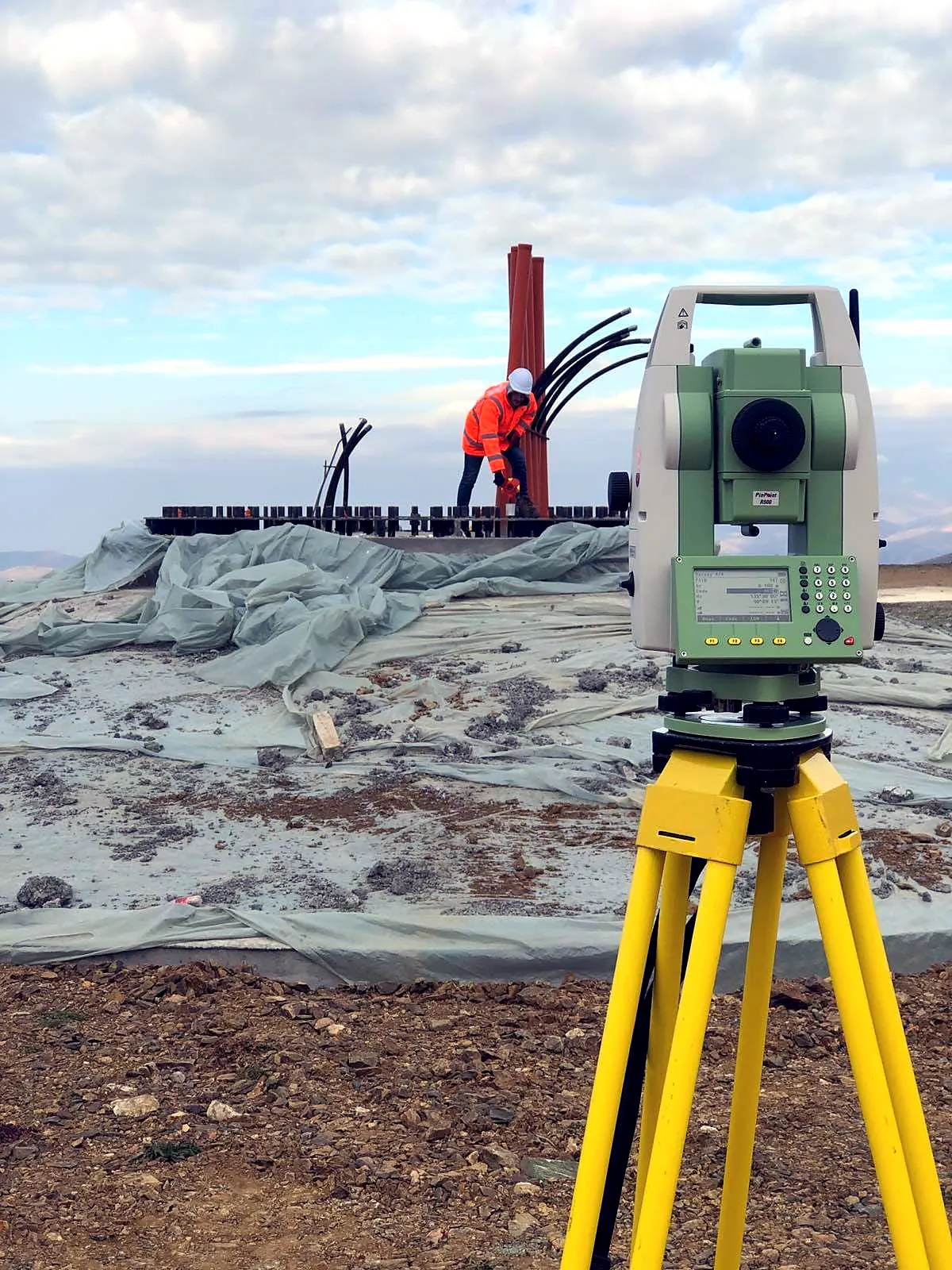
Cadastral and geodetic surveys with total stations and GNSS, cadastral plans, documentation and registration with cadastral offices.
-
 Drones and photogrammetry
Orthomosaics down to 1.5 cm/pixel, point clouds, DSM, DTM and 10 cm contours.
-
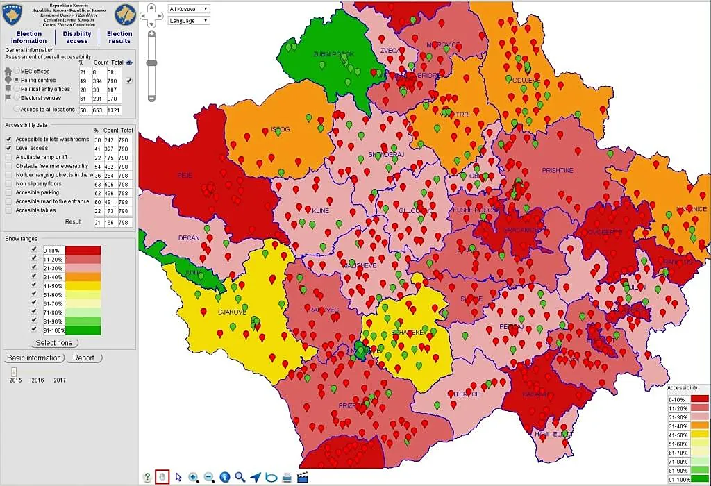 GIS and WebGIS
Geodatabases, thematic maps and WebGIS platforms for regulators, water utilities and the election commission.
-
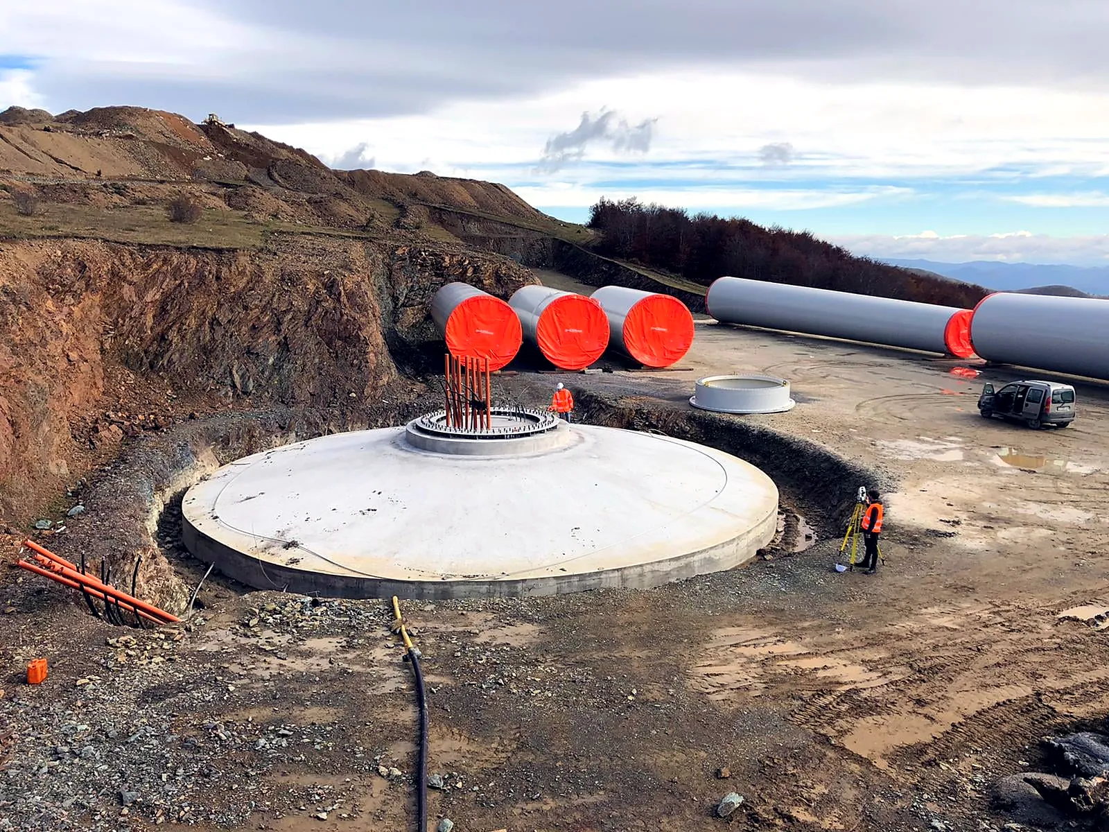 Engineering and supervision
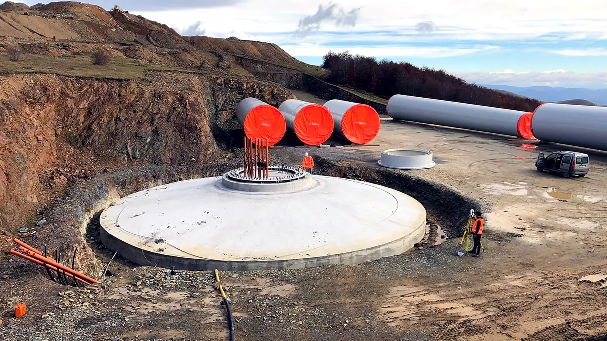
From site survey to on-site supervision, as on the 105 MW Bajgora wind park.
-
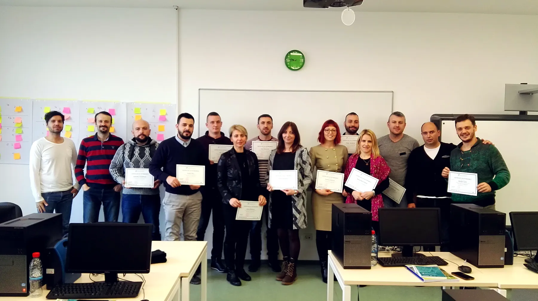 Training
ArcGIS and WebGIS for municipalities and operators.
From flight to model in 1 to 5 days
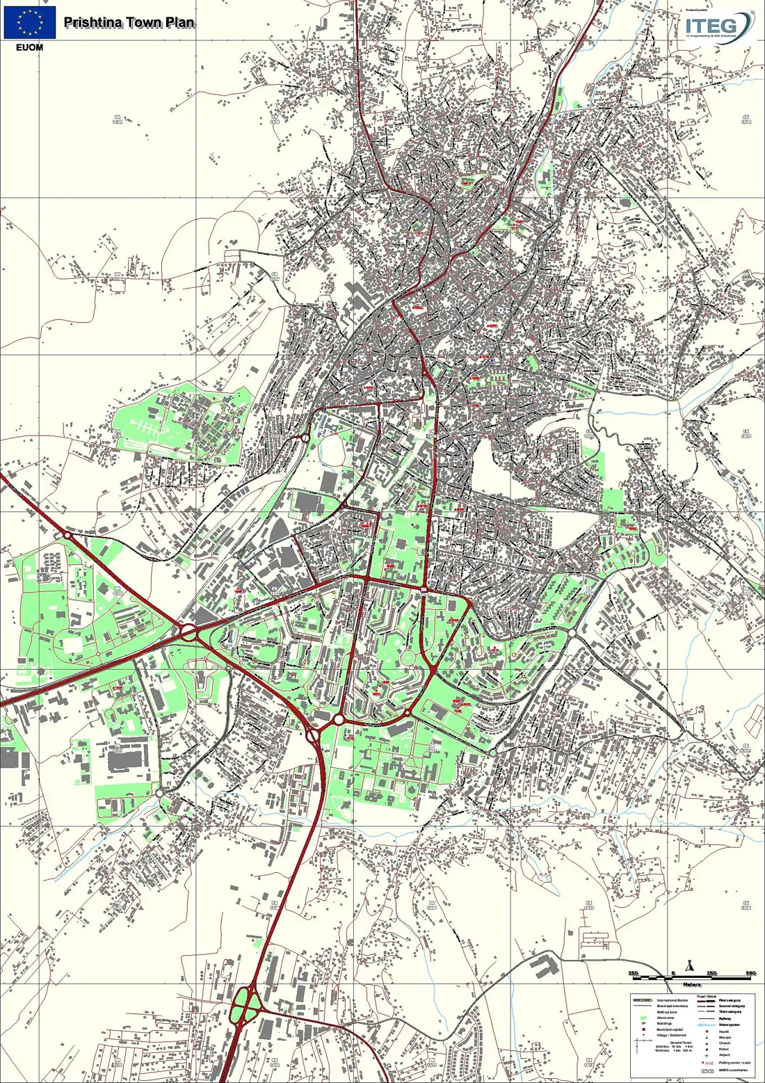
In January 2020 we flew the Kodrina neighbourhood of Prishtina (Matiçan cadastral zone) with our WingtraOne PPK drone. Here is how one flight becomes data an engineer can use.
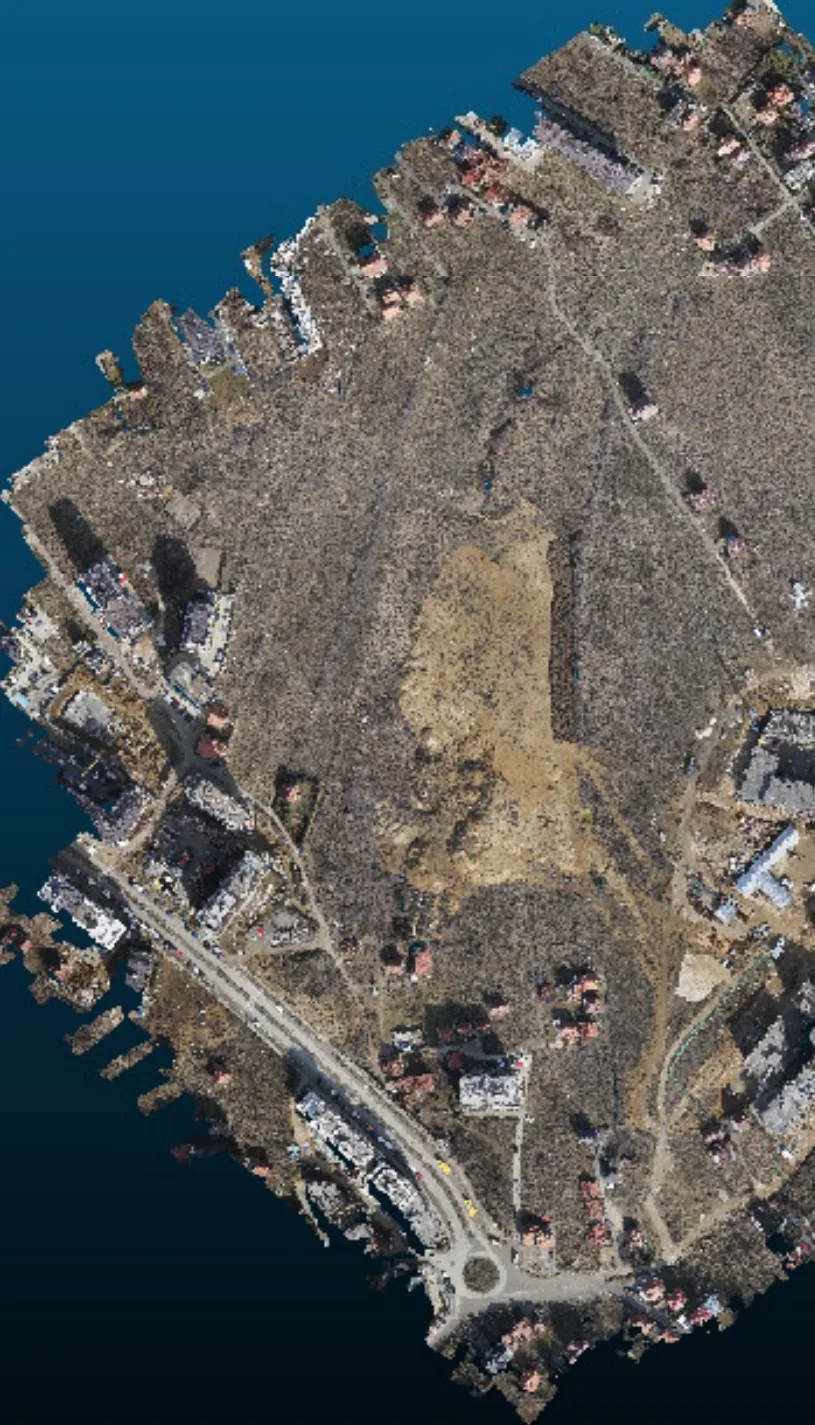
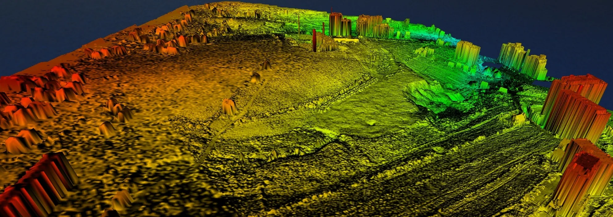
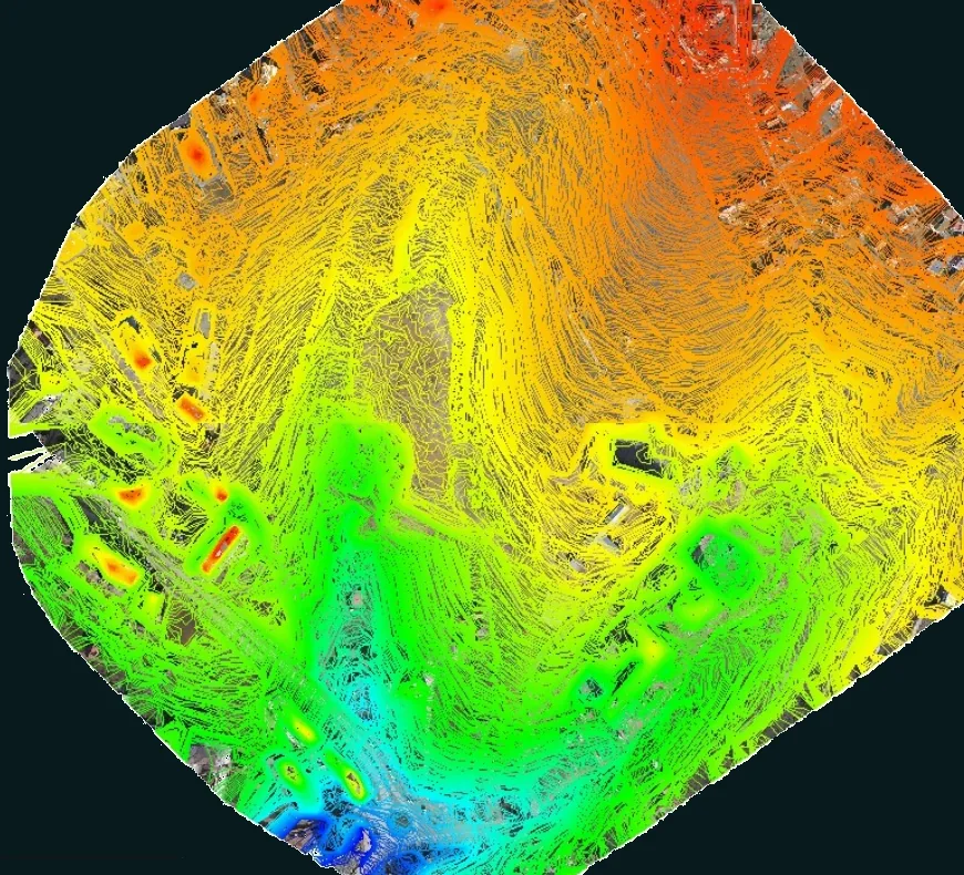
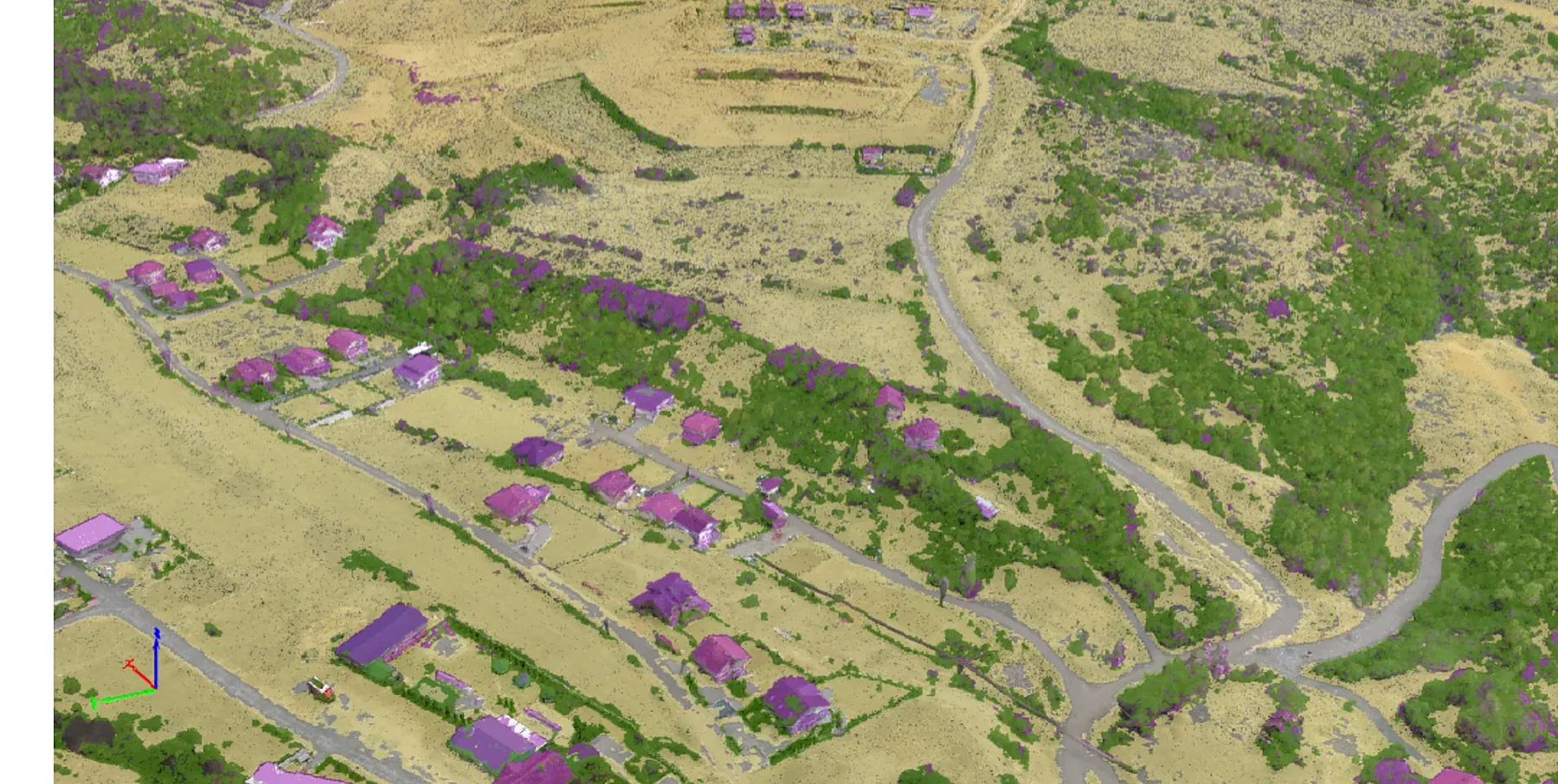
- 54.65 ha
- area surveyed
- 15.39 km
- flight length
- 200 m
- flight altitude
- 246
- images
- 2.53 cm
- per pixel
Industries we serve
News
All news-
 News
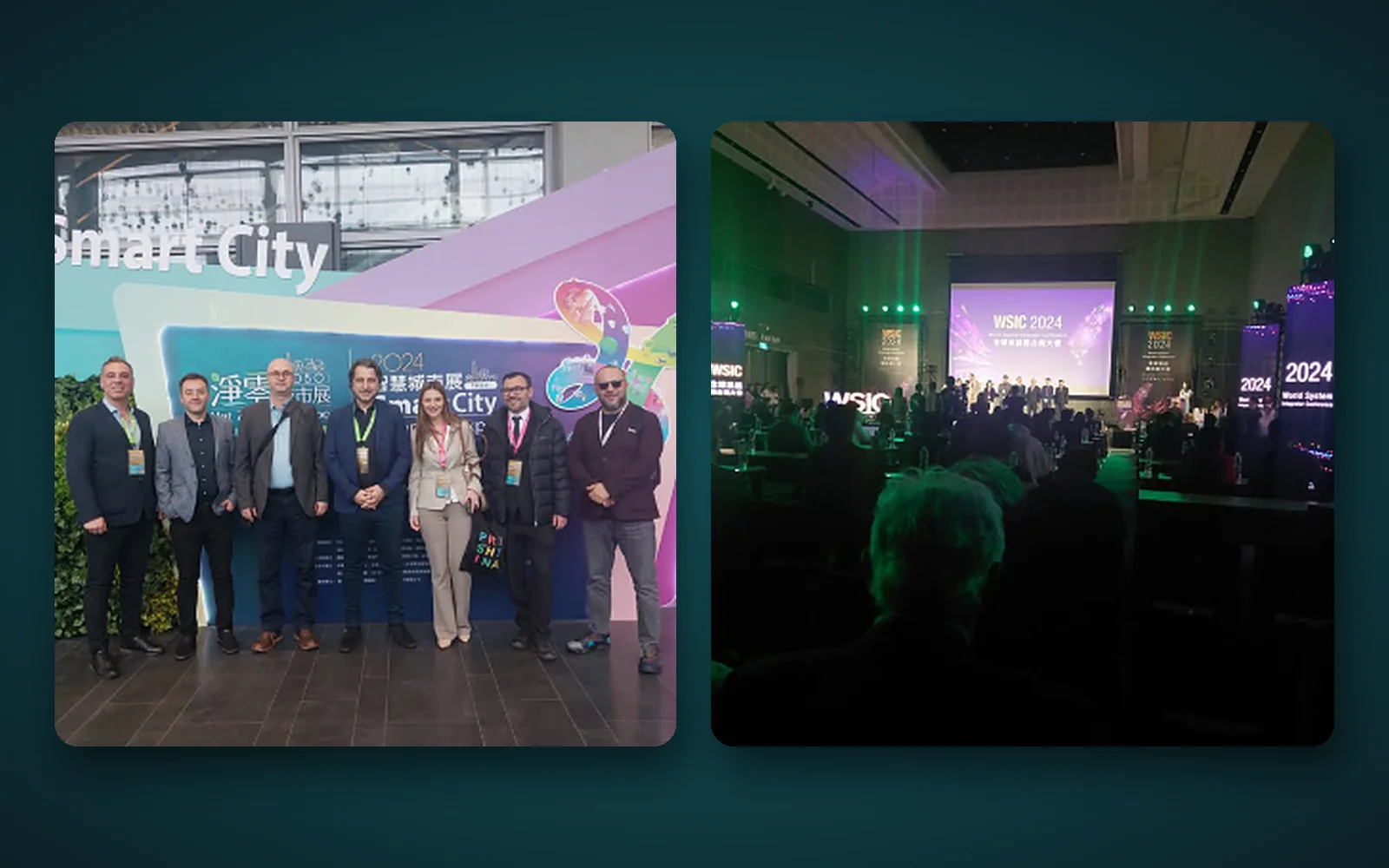
ITEG at Smart City Summit & Expo and the 2024 World System Integrator Conference
In March 2024, ITEG attended the Smart City Summit & Expo and the 2024 World System Integrator Conference (WSIC). These events bring together companies and institutions working on smart city solutions, systems integration and digitalisation. For our team they were a chance to see the latest technology and build new partnerships.
-
 News
ITEG among the winners of the Kosovo Green Challenge – BOOST x Kosovo
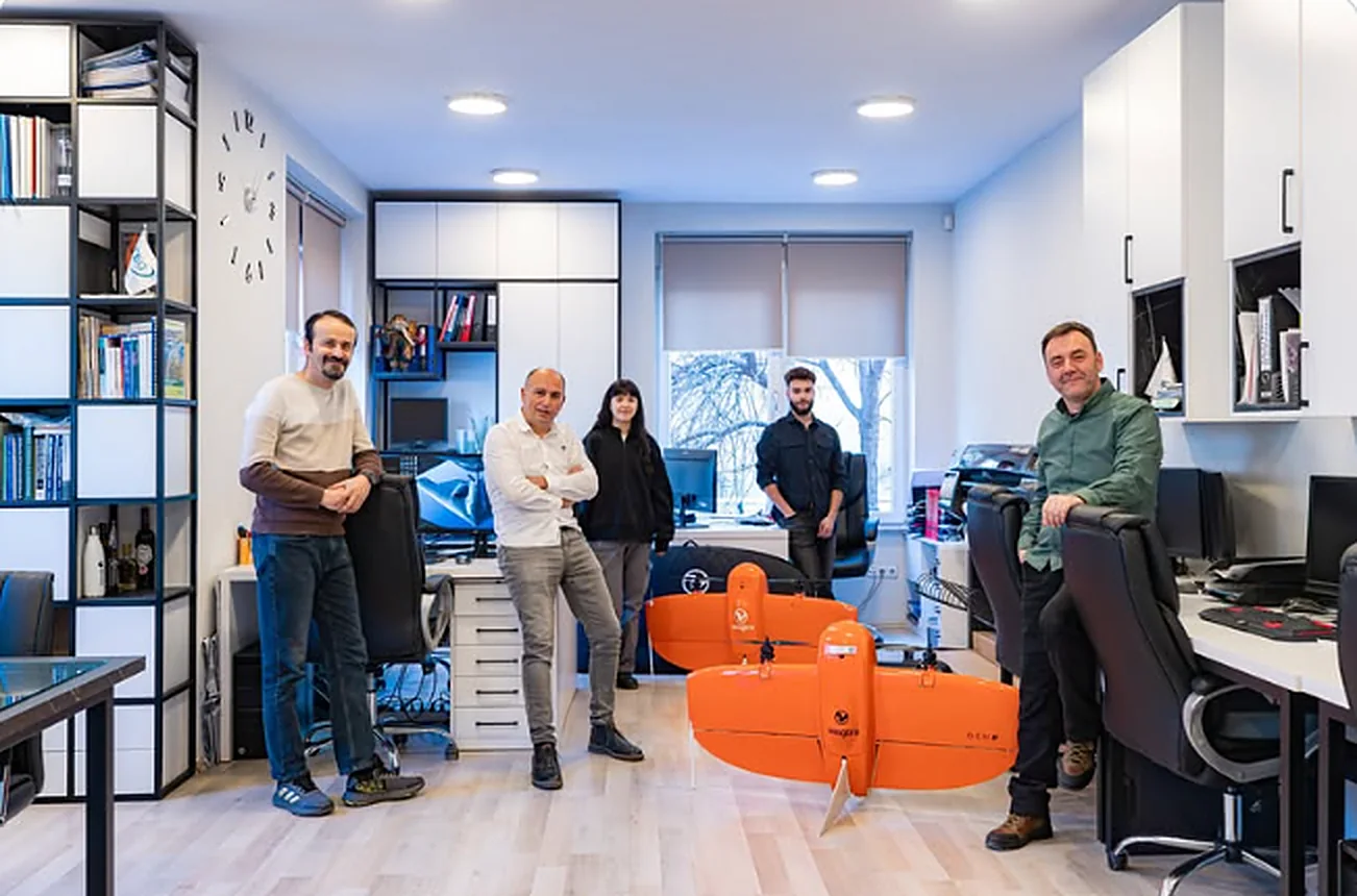
ITEG is among the twelve winners of the Kosovo Green Challenge, BOOST x Kosovo 2nd edition, with its project introducing drone technology to agriculture. By investing in drones equipped with sensors and cameras, ITEG aims to help farmers assess plant health and detect diseases early, saving crops and boosting yields. BOOST x Kosovo is supported by UNDP Kosovo and implemented in cooperation with Innovation Centre Kosovo and Raiffeisen Bank, to support green recovery in the private sector through sustainable practices, innovation and digitalisation.
-
 News
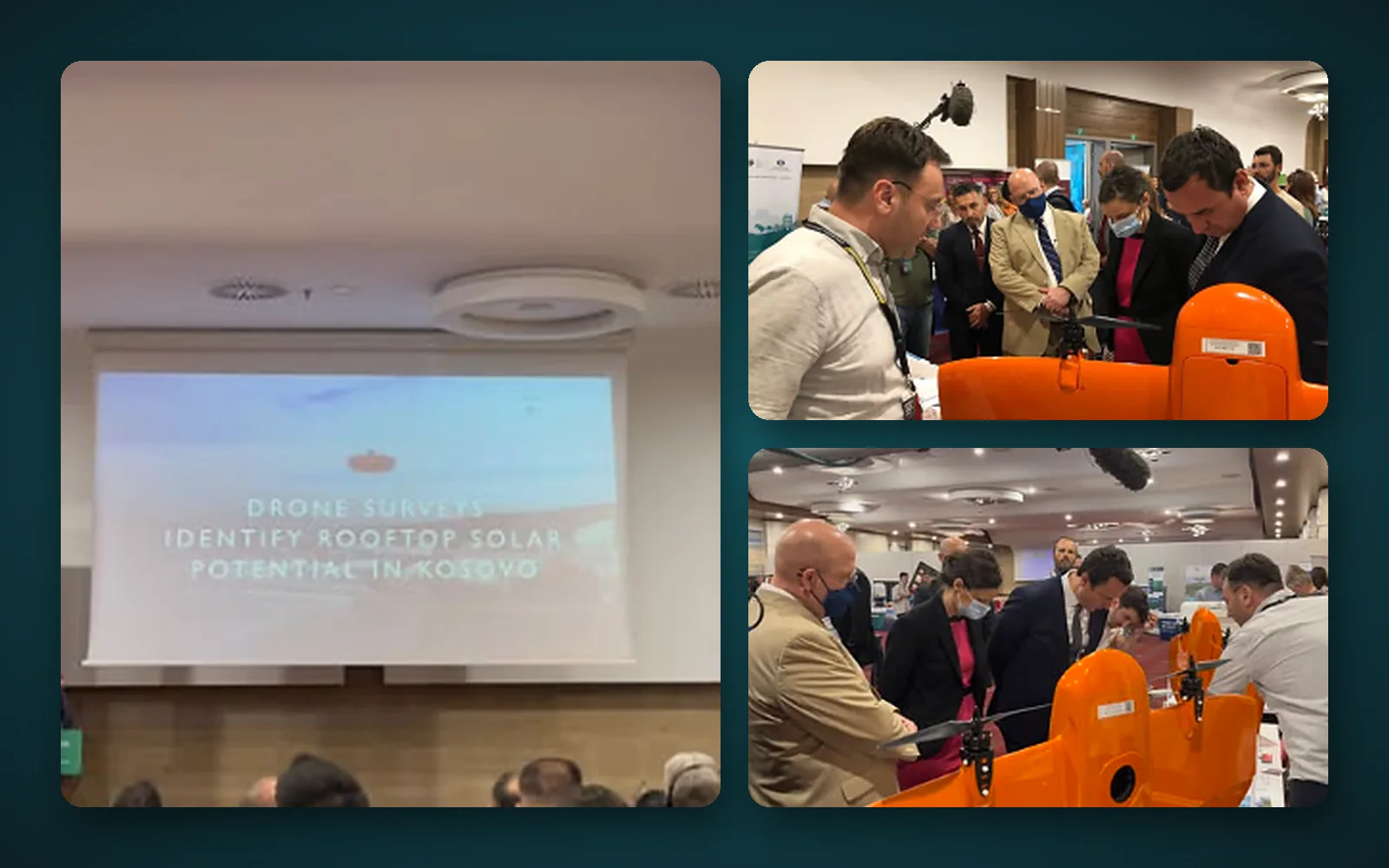
ITEG at Kosovo Solar Forum 2022
The ITEG team took part in Kosovo Solar Forum 2022, presenting drone surveys that identify rooftop solar potential in Kosovo. At our stand we had the pleasure of welcoming the Prime Minister, the US Ambassador, the Minister of Economy, the USAID Kosovo Mission Director, USAID advisors, experts and specialists, the Head of the EBRD for Kosovo, IFC and World Bank representatives, and many international organisations, NGOs and private companies. We thank you all for your strong support and willingness to cooperate with our company.
Have a project in the field?
Cadastral survey, drone mapping or a GIS system: tell us what you need and we will send a quote within one working day.