GIS, surveying and cadastre
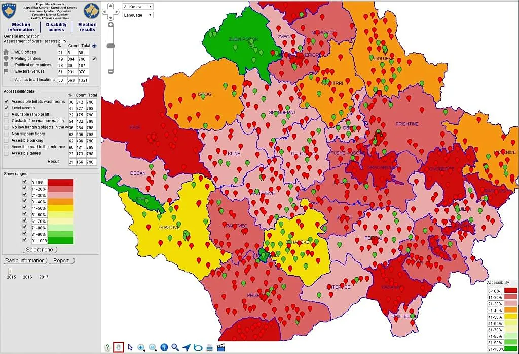
Our GIS services deliver value-added outputs that help clients make better-informed decisions. We analyse spatial information with a range of software packages and programming languages. Satellite imagery gives insight into change over time: we have mapped deforestation and afforestation in western Kosovo, the extent of aromatic plant species in pilot areas and changing agricultural land use.
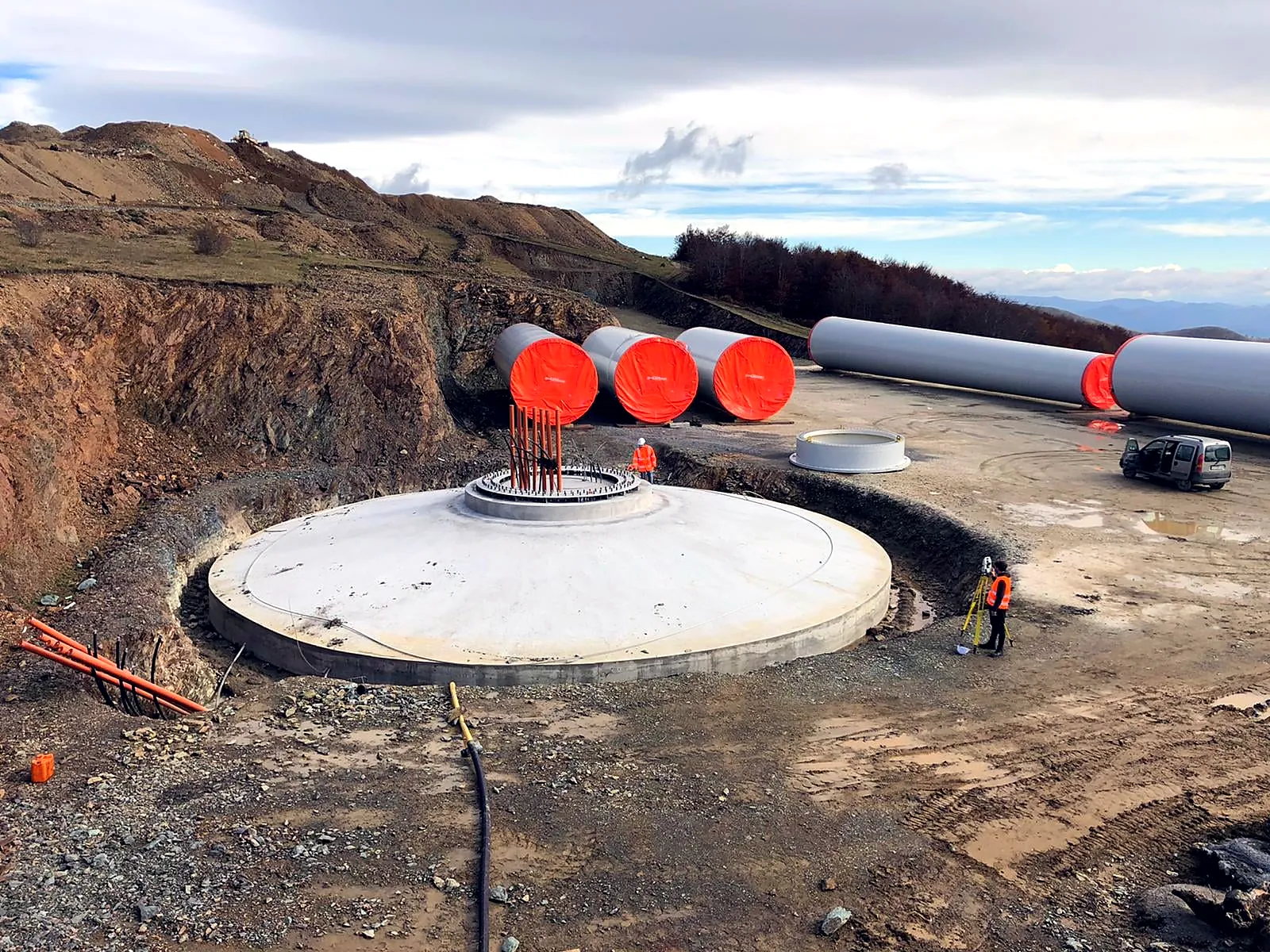
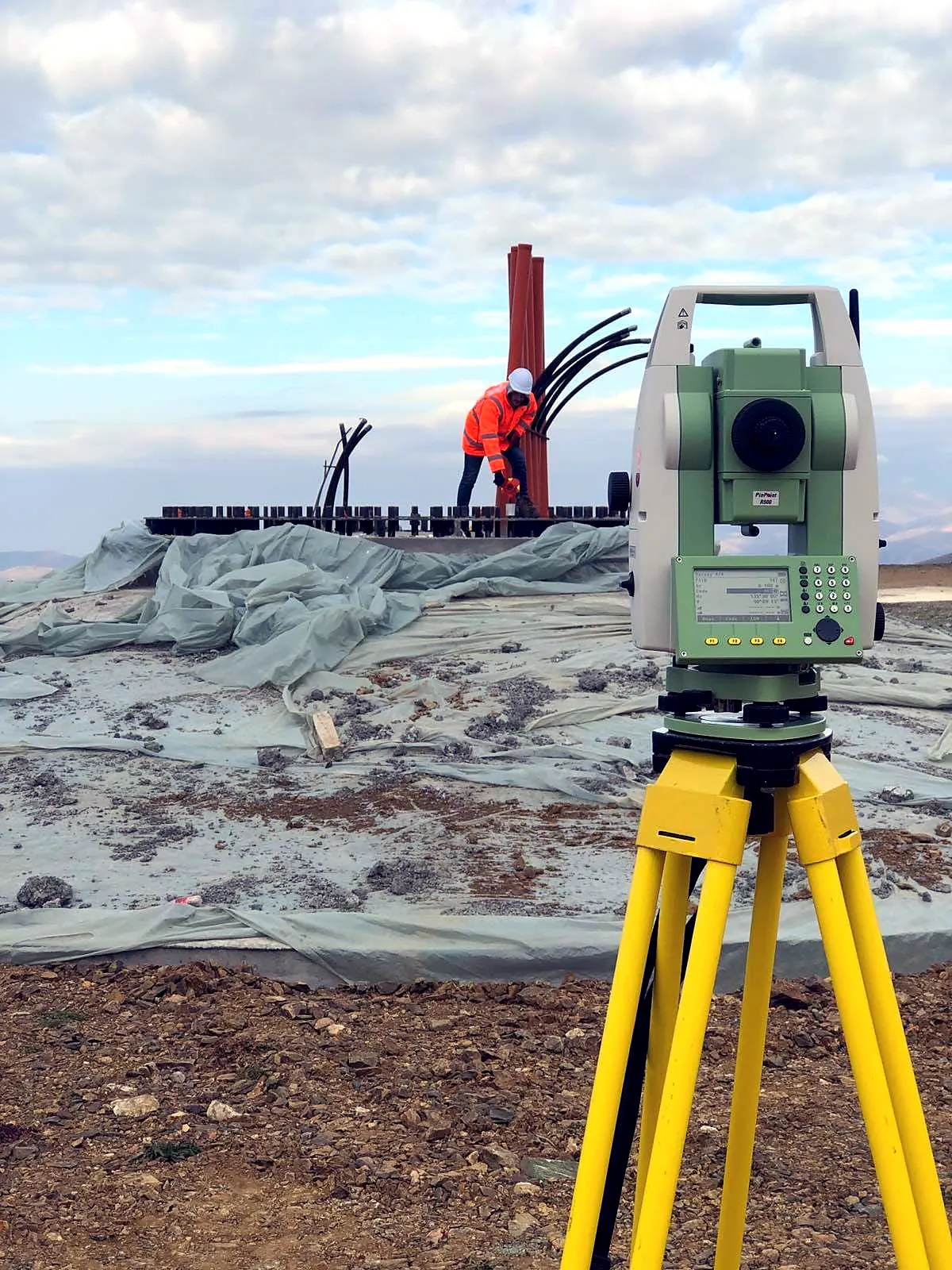
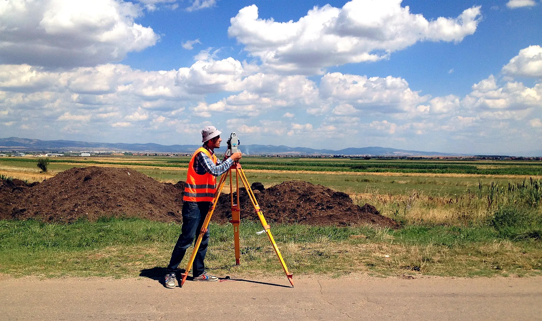
- Cadastral and geodetic surveys
- 3D terrain modelling and rendering
- Digitisation and thematic maps
- 1:500 vector mapping across Kosovo