
Our services
Surveying, drone mapping, GIS and design from a company licensed by the Kosovo Cadastral Agency. We work anywhere in Kosovo.
Most requested
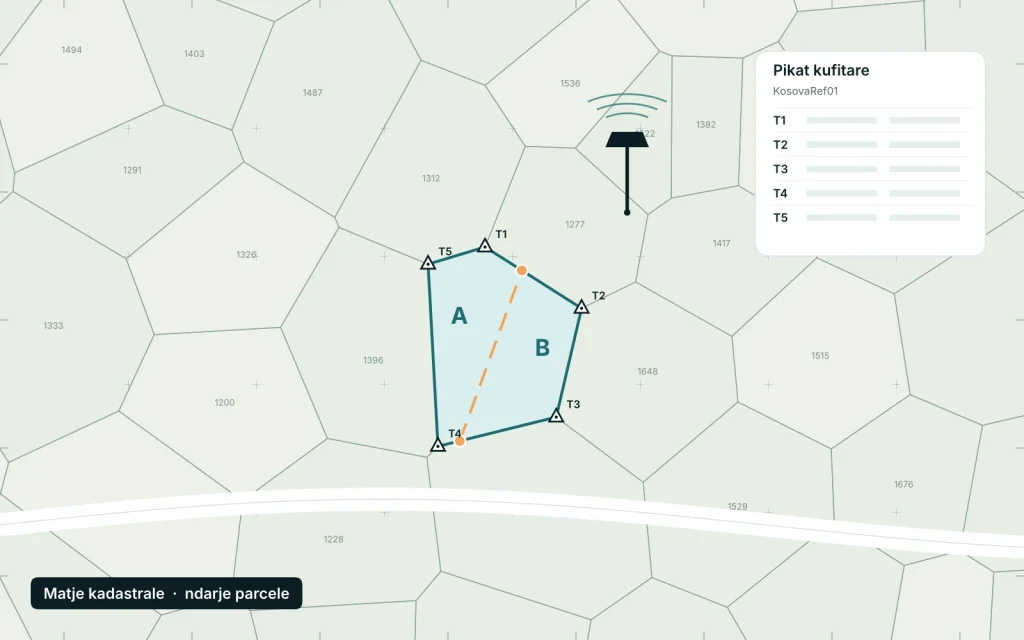
Cadastral surveys and parcel subdivision
Parcel surveys, subdivision and merging, boundary correction and survey reports for the municipal cadastral office.
Learn more
-
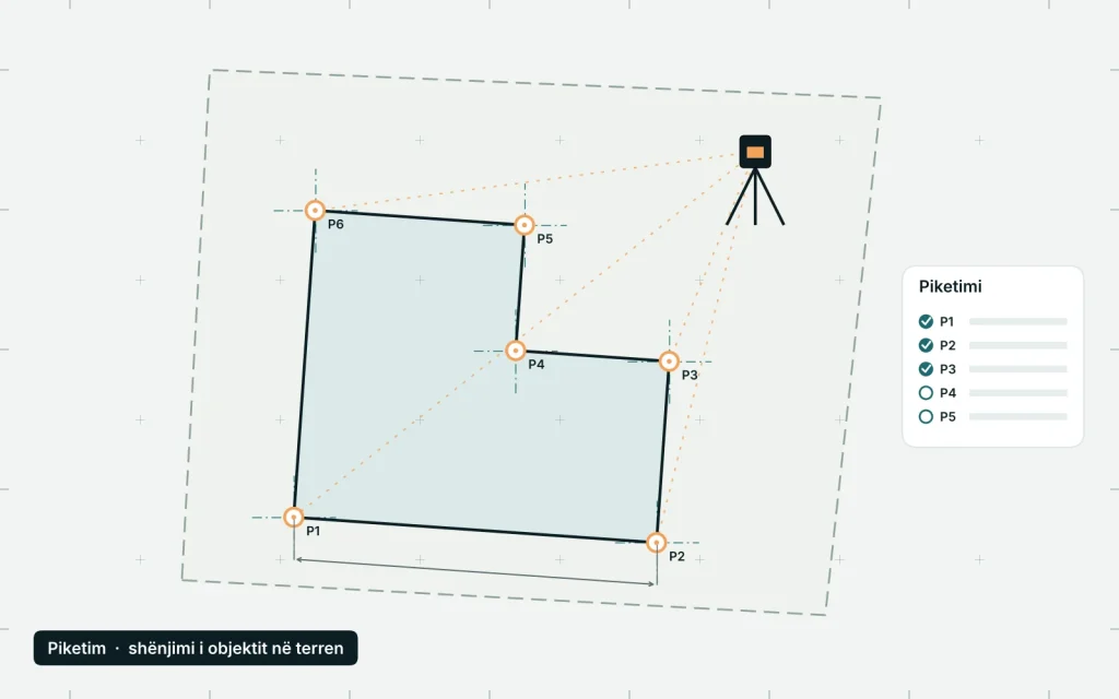 Stakeout
Marking parcel boundaries and the axes and corners of a building on site to the design, with total stations and GNSS.
Learn more
-
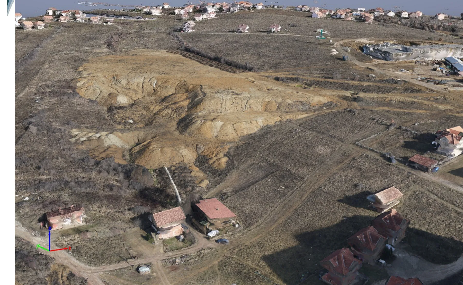 Drone surveys
Orthophotos, point clouds, 3D models, DSM/DTM and contours with WingtraOne drones, hundreds of hectares a day.
Learn more
-
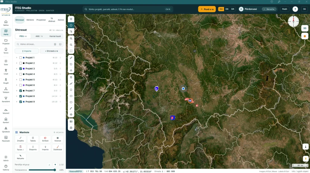 GIS and WebGIS
Spatial databases, digitisation, analysis, thematic maps and WebGIS platforms for municipalities, institutions and companies.
Learn more
-
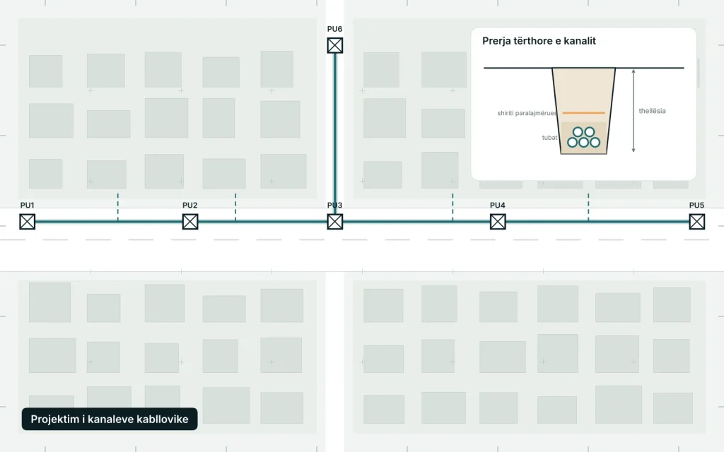 Cable duct design
Route surveys, design of ducts and manholes for telecom and power networks, and network mapping in GIS.
Learn more
- Kosovo Cadastral Agency licence
- No. 356
- Founded
- 2009
- Completed projects
- 200+
- We work in every municipality
- All of Kosovo
Have a project in the field?
Cadastral survey, drone mapping or a GIS system: tell us what you need and we will send a quote within one working day.